Geospatial Tech & Indian Agriculture
Almost everybody uses geospatial tech - it is no longer limited to scientists and high-tech industries! Every time you use the GPS on your mobile device or share your location via a Google link, you are using geospatial technology. Simply put, this technology allows us to pinpoint the precise location of almost anything on this planet using satellites, servers and the internet too.
Just a bit more about geospatial tech before moving on…
Broadly speaking, there are three different categories of geospatial technology:
- Geographic Information System (GIS) - connects data to a map
- Remote Sensing (RS) - measures the physical characteristics of a feature by emitting and reflecting radiation
- Global Positioning System (GPS) - brings together satellites and ground stations to help in navigation
And now we turn to agriculture…
From this space-centric technology, let’s journey to the fields, literally. Geospatial technology is playing a role in agriculture in multiple ways:
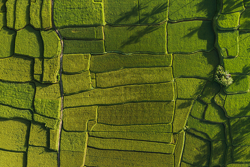
- Assessment of vegetation in a specific location or terrain
- Monitoring the movement of produce or raw materials
- Weather forecasts
- Helping farmers in marketing
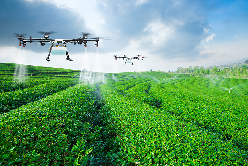
- Remote controlled equipment that can deliver fertilisers, nutrients and irrigation to fields
- Aiding precision agriculture and so on
One of the most well-known applications of geospatial technology is in precision agriculture. A farmer can use data to identify field variability and make informed decisions on application of nutrients and quantities of water.
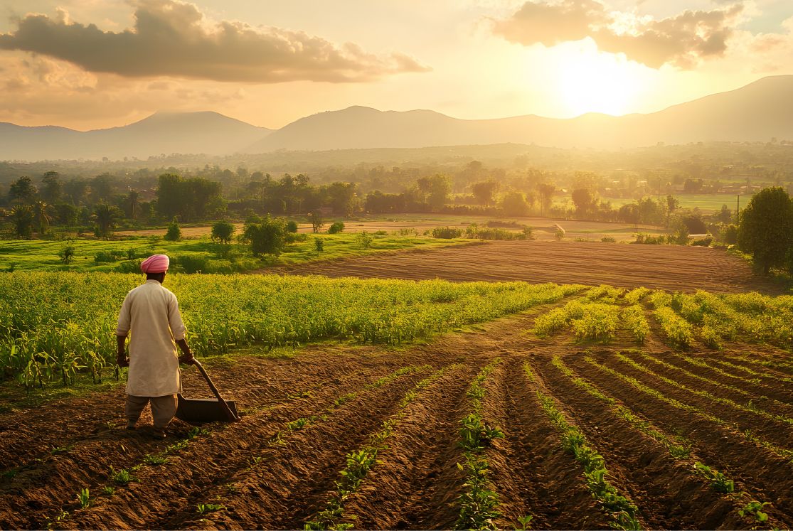
Let’s talk about Indian agriculture and geospatial tech…
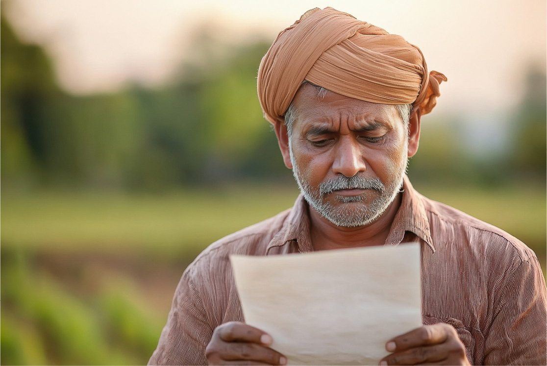
There are a few big challenges driving innovation in agriculture. Food security, climate change and shrinking resources are some of the issues that every farmer and policymaker has to deal with. Along with other solutions, geospatial tech is doing its bit as well to help in sustainability and better crop management.
In February, 2021, the government lifted restrictions on the geospatial sector. With this move, the Indian agriculture sector can look forward to tapping into vast amounts of data which can help in better crop planning, irrigation methods and supply chain management as well.
With this democratisation of data, India can also develop indgenous apps and programs that are more finely-tuned to our country’s needs. For instance, remote sensing data like the Normalised Difference Vegetation Index or NDVI is based on foreign apps. With the opening up of the geospatial sector, India can develop data and apps for local vegetation and deploy the same with greater accuracy.
The new guidelines also allow for data storage and processing of high-resolution images. This impacts the precision levels of AI (or artificial intelligence) models. With more accurate predictive models, farmers can be better prepared to manage agricultural risk.
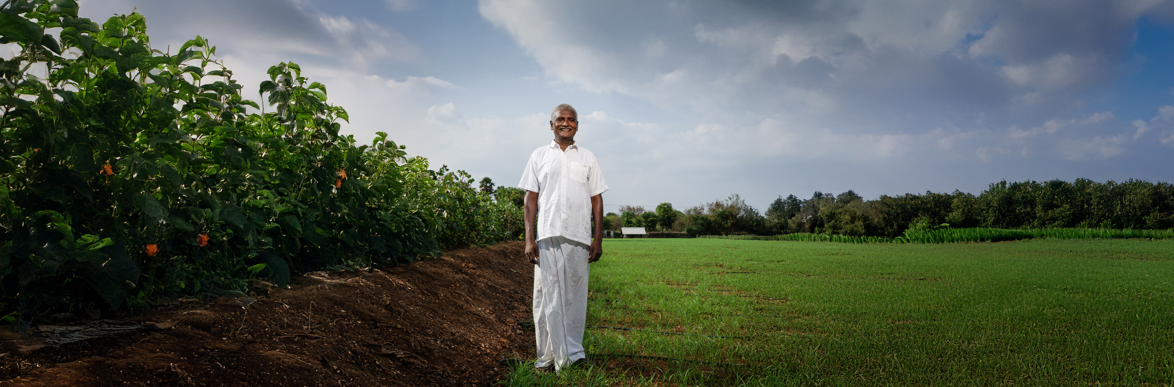
On a broader scale, India is seeing a lot of growth in the agri-tech sector. Our country has more than 450 start-ups in this industry and even more interesting - globally, every ninth agri-tech start up is from India.
With geospatial tech playing its part, India’s agriculture can very well witness a paradigm shift in all aspects - land use, market forces, environmental factors and even the employment of labour force in the fields. Perhaps the presence of robots in the open fields of India is not a fictional idea!