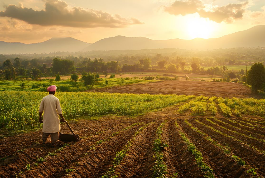
What’s Driving Development in Farming Today
Technology seems to be the answer to almost any question today.
Global response to Covid-19? Digital vaccine certificates.
Connecting with friends & family all over the world? Social networking.
Grocery shopping to do? Choose from a plethora of mobile apps.
It therefore stands to reason that technology plays a huge role in the farming sector too. From the use of simple tools to the growth of mechanisation, using a borewell to the immense potential of the internet, humankind has come a long way indeed.
Why should we turn to technology?
Farming & agriculture face some unique issues and in a lot of cases, tech can help immensely. Take the very real challenge of the need to increase production. Toss in factors such as the following and you are left with the an immediate need to use multiple methods to foster further development in farming:
- Increasing resource crunch - water, cultivable soil and even socioeconomic constraints
- Climate change
- Need to maximise productivity
- Control over processing & distribution
- Growing awareness of the environmental impact and so on.
The farming sector is tapping into technology to meet all these challenges and more. Let’s take a look at some of the exciting factors that are driving the agri sector in today’s world.
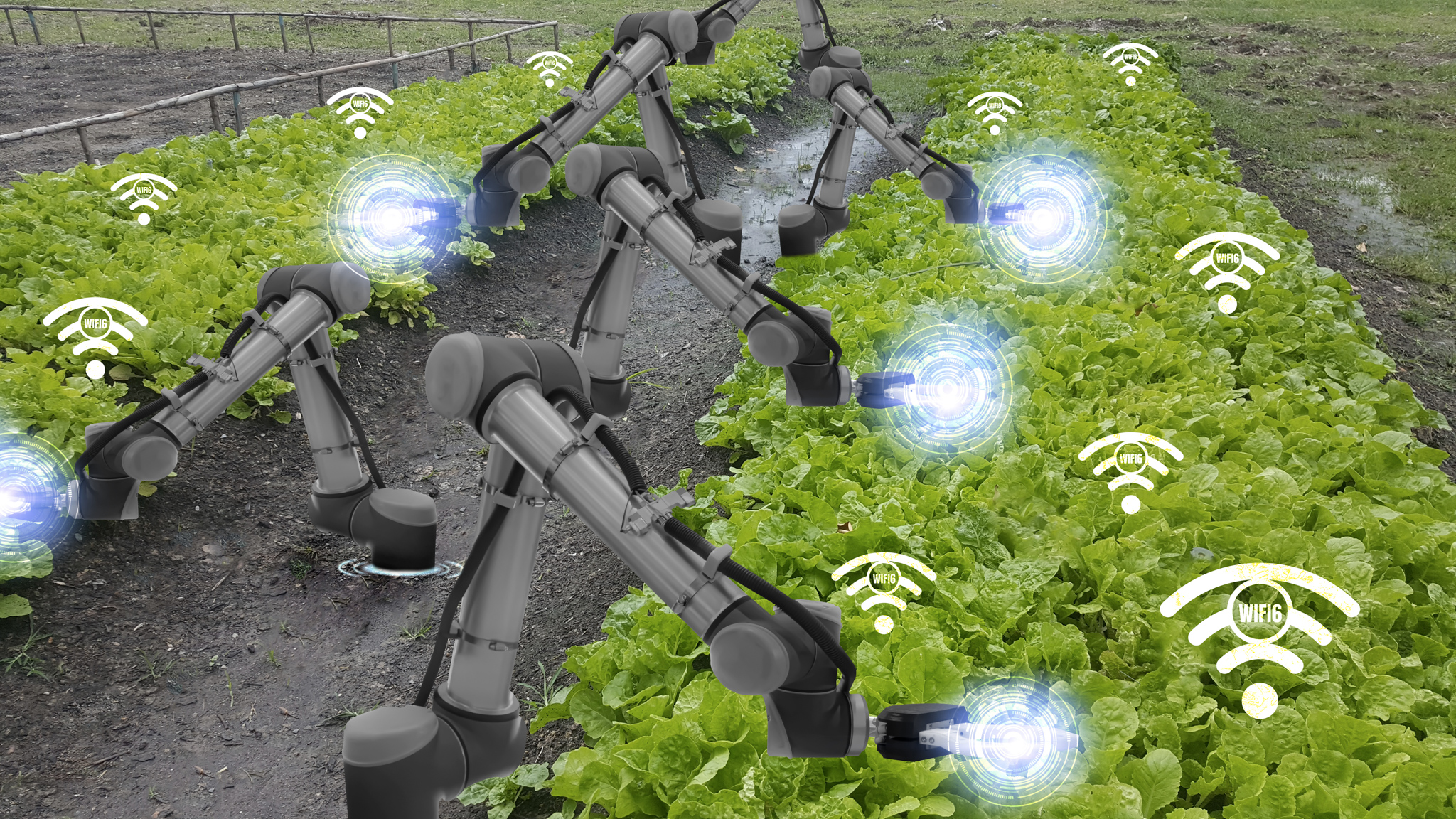
Use of Artificial Intelligence
India’s strategy on Artificial intelligence (AI) places agriculture on a priority basis. By the year 2025, AI is estimated to touch the value of $2.6 billion. More importantly, AI can help propel a food revolution and forecast crop prices so sowing practices can be recalibrated accordingly.
Geographic Information System software
GIS or geographical information system seems like it has been made for agriculture! Farms are, after all, location based and the use of GIS software empowers farmers to:
- Deal with crop forecasting
- Analyse and deal with soil data and erosion trends
- Use drones to collect data quickly & efficiently
- Tap into apps integrated with machinery and controlled by GPS to exercise better control over the health of their fields.
Satellite imagery
Closely linked with the use of GIS is the use of satellites to monitor crop status. As Michigan State University (MSU) Foundation Professor Dr. Bruno Basso puts it, it helps “detect the health of crops from the sky.”
Using satellites, a farmer can get even smarter about land use. For instance, satellite imagery can help identify the changes that have occurred over a period of time in a field. This technology can also help locate areas or farmlands that are more prone to droughts than others.
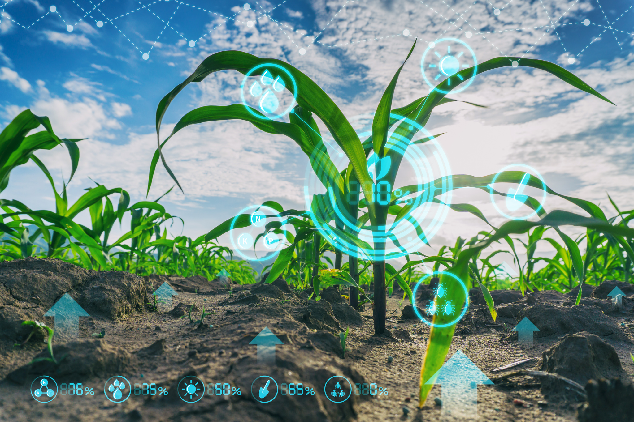
Sensors & mobile apps
Imagine getting the advantage of immediate & correct data on soil, water, pesticides and even information on a specific portion of a field that is not doing too well. That’s exactly what sensors are doing today. A farmer can get all the information they need on their mobile phone. Since information is everything these days, it is possible to get all the information on the next bag of onions you buy, simply by scanning a QR code.
Indubitably, we live in exciting times indeed when it comes to the powerful contributors to development in farming today.