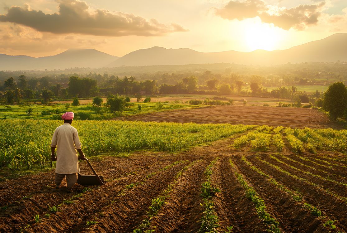
Agroclimatic Zones of India
Climate plays a significant role in agriculture. This is true all over the world. And this is why the Food and Agriculture Organisation, or FAO, came up with the term agro-climatic zone (ACZ). The FAO also refers to it as AEZ or agro-ecological zone. An ACZ is defined as a section or unit of land which is identifiable by its:
-
Major climate conditions
-
Major crop growing patterns
-
And a few other factors such as soil conditions, and crop management methods
Importance of ACZs
These agro climatic zones are the result of extensive mapping of a country and result in deeper knowledge about crops and growing the same on specific parcels or regions of land. The importance of defining ACZs are many. Few of the most important ones are:
-
‘Suitability’ map – helps figure out which crops can be grown best in a particular location
-
Potential yield – knowing what crop should be planted at what point of time helps increase yield significantly
-
Future scenarios – farmers will also get to know how climate change is going to affect their potential for yield and can better manage climate-related changes
ACZs and India
The Planning Commission of India started the programme of agro-climatic zone planning in 1988. The following aspects that affect agricultural practices in India were taken into consideration:
-
Rainfall
-
Types of soil
-
Topography
-
Farming systems
-
Temperature
-
Water resources and
-
Cropping patterns
The result of this exercise was to demarcate fifteen ACZs in India:
-
Western Himalayan region
-
Eastern Himalayan region
-
Lower Gangetic plain region
-
Middle Gangetic plain region
-
Upper Gangetic plain region
-
Trans-Gangetic plain region
-
Eastern plateau and hill region
-
Central plateau and hill region
-
Western plateau and hill region
-
Southern plateau and hill region
-
East coast plain and hill region
-
West coast plain and hill region
-
Gujarat plain and hill region
-
Western plain and hill region
-
Island Region

Each of these zones is defined mainly by the major crops (fruit, vegetables, etc) that grow there and the areas that they cover. For instance, the Eastern Himalayan region covers Arunachal Pradesh, Assam hills, Sikkim, Darjeeling district, and Mizoram to name a few states. Major crops grown are rice, maize, pineapple etc. The Island region consists of Andaman-Nicobar, and Lakshadweep, and grows rice, maize, millets, and cassava.
It is also interesting to note that the National Agricultural Research Project, launched by Indian Council of Agricultural Research, or ICAR, goes further and divides India into 127 ACZs. These zones were developed after considering factors such as administrative units, rainfall, and cropping patterns.
It would be pertinent to state that an agro-climatic zone is akin to a community of plants! Each community has its own ways of doing things based on their environmental factors. They create and foster methods that help them thrive in their surroundings and that is exactly how an agro-climatic zone helps crops – by creating a community that helps them thrive.
#InterestingInfo
-
The state of Tamil Nadu has seven ACZs
-
Madhya Pradesh with 12 ACZs is the largest number according to ICAR classification